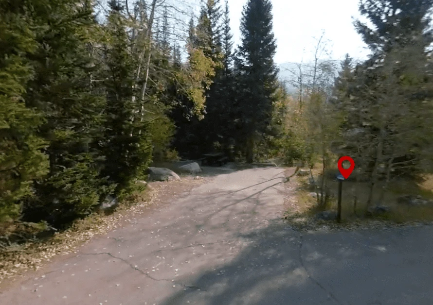
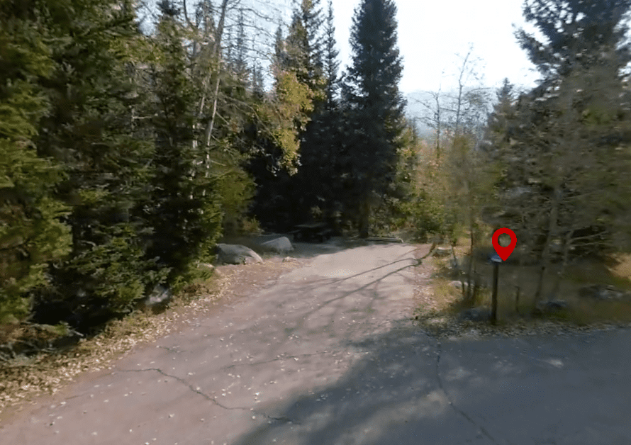
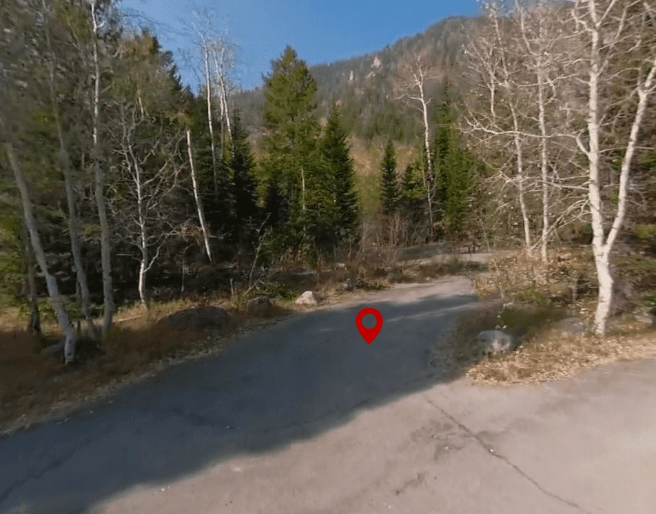
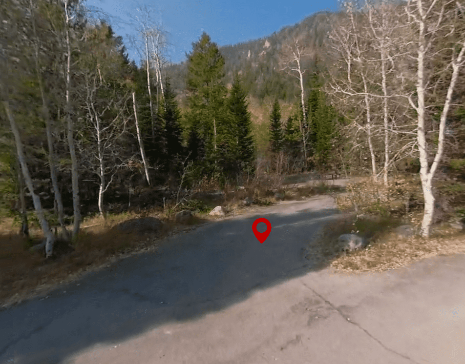
Explore Smith and Morehouse Campground in 360°
This campground has a full virtual tour with interactive campsite markers. Walk through every loop, inspect individual sites, and see the views before you book.
Launch Virtual Tour →📅 Check Campsite Availability
✅ Amenities & Features
.GOV.RECREATIONBack-inBathroomsBikingCampfireCanoeingDirtDogsFamily FriendlyFirepitsFishingForestForest ServiceHikingMountainsNational ForestParkPetsPrimitivePublic ParkPull-InRuralScenicSeasonalShadeTentsTouristTrailsTreesWalking TrailWildlife
📖 About This Campground
Smith and Morehouse Campground near Kamas, UT. Smith and Morehouse Campground is located a very short distance from Smith and Morehouse Reservoir on the western edge of the Uinta Mountains in northeastern Utah. The town of Oakley, Utah, is just 12 miles away. Visitors enjoy fishing, canoeing and exploring the Smith and Morehouse Trail.
This is a paved campground with no hook-ups. The nearest phone is 13 miles away. Popular local recreation activities include lake fishing and hiking.
Facilities
The campground offers numerous family sites, most of which are accessible. Picnic tables and campfire rings are provided, as are vault toilets. Firewood is available for purchase from the host. This is a paved campground with no hook-ups.
Natural Features
The campground is situated just below the reservoir in a scenic conifer and aspen forest at an elevation of 7,800 feet. Smith and Morehouse Creek runs through the campground. A variety of wildlife makes its home around the reservoir, including moose and deer. Summer temperatures range from 65-75 degrees in the day to 40-50 at night.
Recreation
The reservoir is open to motorized boats, though a wake-less speed is enforced, making it an excellent place for canoeing and kayaking. A boat ramp is located on the northwest shore. Anglers enjoy fishing for stocked rainbow trout and other native fish species.
The 14.6 mile point to point moderately trafficked Smith Morehouse Trail is popular with hikers and backpackers. The trail begins at nearby Ledgefork Campground and leads through forests, meadows and a marsh before spurring off to Erickson Basin and Island Lake. It is one of the less popular hikes in the Uintahs and at times can be difficult to navigate where the actual trail is. Be sure to take a map and compass/gps to help along the way. It is a good idea to take two cars or have someone drop your group off at one of the trail heads and meet you at your destination so you have transportation waiting for you at the other end. The trail is difficult and can be very hot in the summer months. Be sure to take an adequate amount of water.